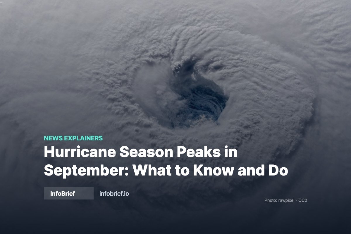
Atlantic hurricane season peaks around September 10, when ocean temperatures and atmospheric conditions align to produce more storms than any other point in the year.
Key Takeaways
- Season runs June 1 – November 30; statistical peak is Sept 10
- Mid-August through mid-October produces most major hurricanes
- Watch = conditions possible (48 hrs); Warning = expected (36 hrs)
- Prepare before a storm is named, not after
Why September is the peak
Three ingredients converge in early September. Ocean temperatures reach their annual maximum after a summer of heating, giving storms the warm water they need as fuel. Wind shear — the change in wind speed with altitude that tears developing storms apart — tends to be at its weakest. And African easterly waves, the atmospheric disturbances that seed most major Atlantic hurricanes, are rolling off the continent at their highest frequency.
The result is a sharp curve rather than a plateau: activity climbs steeply through August, spikes around September 10, and falls off through October. Roughly the bulk of major hurricane activity happens in this narrow window, which is why preparedness campaigns cluster in late summer.
Watch vs warning: the distinction that matters
| Alert | Meaning | Lead time |
|---|---|---|
| Hurricane Watch | Hurricane conditions are possible in the area | ~48 hours |
| Hurricane Warning | Hurricane conditions are expected | ~36 hours |
| Storm Surge Warning | Life-threatening inundation expected | ~36 hours |
The practical rule: a watch is when you finish preparations, not when you start them. By the time a warning is issued, stores are stripped and evacuation routes are congested.
What actually kills people in hurricanes
Wind category gets the headlines, but water causes most storm deaths. Storm surge — ocean water pushed inland — is the deadliest element on the coast, and inland flooding from rainfall kills people hundreds of miles from where a storm made landfall. A weakening tropical storm can be more dangerous inland than a stronger hurricane was at the coast, because slow-moving systems dump enormous rain totals.
This is why the Saffir-Simpson category alone is a poor guide to personal risk. Your elevation, your distance from water, and the storm’s forward speed matter as much as the wind number.
A preparedness checklist that holds up
- Documents: photograph insurance policies, IDs, and deeds; store copies in the cloud
- Insurance reality check: standard homeowners policies exclude flood damage, and new flood policies typically carry a 30-day waiting period — which means September is too late to start
- Supplies: one gallon of water per person per day for at least three days, non-perishable food, medications, batteries, and a battery or hand-crank radio
- Power: charge devices and battery banks when a storm enters the forecast cone, not when it arrives
- Evacuation zone: look yours up now — zones are assigned by surge risk, not by how far you feel from the beach
- Generator safety: never indoors or in a garage; carbon monoxide poisoning is a leading post-storm cause of death
Following a storm without the hype
Stick to the National Hurricane Center for official forecasts and your local National Weather Service office for area-specific impacts. Two habits reduce anxiety and error: ignore single model runs circulating on social media (the forecast cone already accounts for uncertainty), and remember that the cone shows the likely path of the storm’s center — impacts routinely extend far outside it.
FAQ
Does the cone show where damage will occur?
No. It shows the probable track of the center. Rain, wind, and surge effects regularly extend well beyond the cone’s edges.
When is it too late to evacuate?
Once tropical storm-force winds arrive, roads and bridges become dangerous and emergency services may suspend response. Local officials set evacuation timing precisely to avoid that window.
Do I need flood insurance if I am not in a flood zone?
A significant share of flood claims come from outside high-risk zones. Coverage is available to most homeowners and renters regardless of zone designation.
How to read forecast cones and alerts
The National Hurricane Center’s forecast cone shows the probable path of the storm’s center, not the size of the storm: damaging wind, rain, and surge routinely extend well outside the cone, which is why officials tell residents not to relax just because the line shifts away from them. Watches mean conditions are possible within 48 hours; warnings mean they are expected within 36. Surge warnings matter most — water, not wind, causes the majority of hurricane deaths in the U.S. The NHC issues full advisories every six hours, with intermediate updates when a storm threatens land, so checking hurricanes.gov morning and evening during an active threat is enough to stay current without chasing rumors.
A realistic 48-hour preparation sequence
- 48 hours out: fill vehicle tanks and gas cans, withdraw some cash, refill prescriptions, charge power banks, and photograph your home and belongings for insurance.
- 36 hours out: secure or bring in outdoor furniture, clear drains and gutters, and confirm your evacuation zone and route — the zone lookup is on your county emergency management site.
- 24 hours out: freeze water bottles to keep food cold longer, set the fridge to its coldest setting, and stage documents (IDs, insurance policies, deeds) in a waterproof bag.
- 12 hours out: finish charging everything, fill bathtubs for sanitation water, park vehicles away from trees, and stay off the roads once winds reach tropical-storm force.
After the storm
More people die after landfall than during it in many storms — from carbon monoxide, electrocution, and heat. Never run a generator indoors or within 20 feet of windows; treat every downed line as live; throw out refrigerated food after four hours without power; and document damage with photos before cleanup for insurance claims. FEMA assistance, if declared, is applied for at disasterassistance.gov, and applying does not affect your insurance claim.
Sources
- National Hurricane Center · NOAA · Ready.gov
General preparedness information — always follow instructions from local emergency officials. Last updated August 25, 2026 · InfoBrief Staff